
Maryland runs from the Allegheny Plateau to the Chesapeake over nearly three weeks.
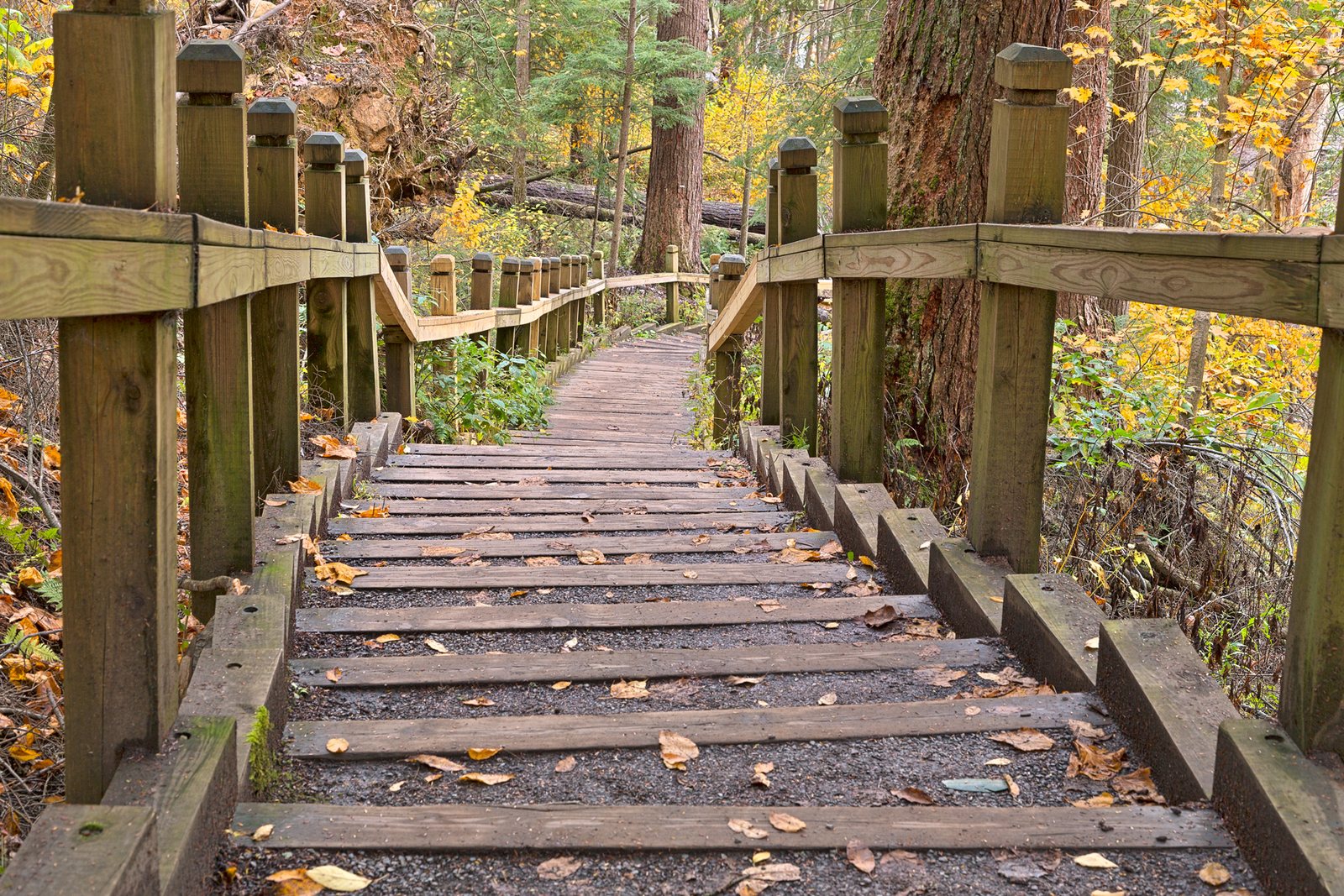
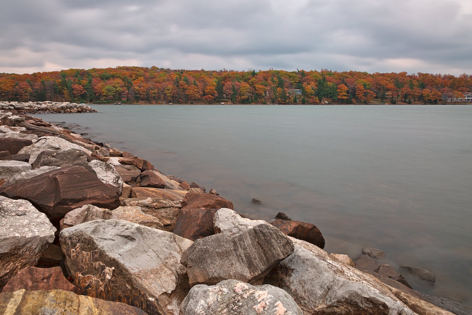
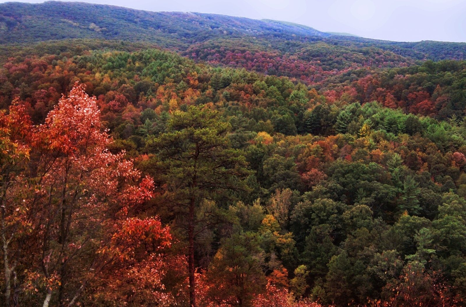
the ridges of Green Ridge and Catoctin follow at the end of the month;
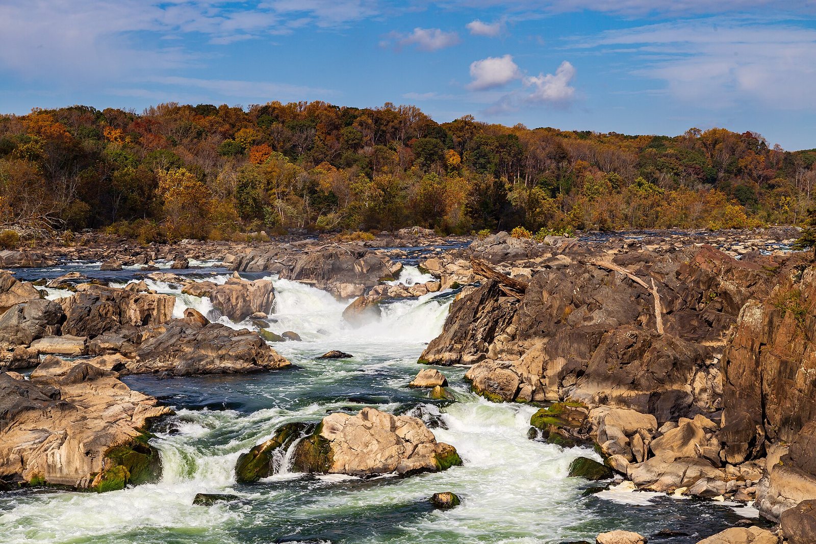


Maple and cherry carry the west, with oaks, hickories and tulip poplar east of the mountains.
In a typical yearWednesday, Mmmmmmmmm 30 (latest map)
Bordering states
Color: Fallcast, the same map as the app. Basemap © OpenStreetMap contributors, Protomaps. Place outlines: U.S. Census Bureau.